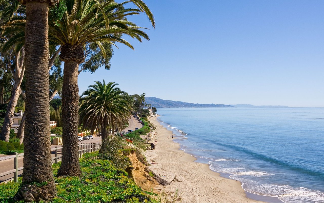
If you walked the bluff loop this week and caught a small white hawk hovering over the grass with its head locked perfectly still, you saw the season's headline. Those are this year's juvenile white-tailed kites, out of the nest and learning to hunt over the same 325 acres that spent most of 2025 on and off the market for $65 million.
That price tag and those birds are the same story. More Mesa is in a hinge moment, and August is when a neighbor can see it most clearly with their own eyes.
The map you walked last summer is not the map today
On October 11, 2025, Santa Barbara County announced the first-ever permanent conservation easement on any part of More Mesa. It covers only the 36-acre parcel on the northwestern edge, the piece the Land Trust for Santa Barbara County bought in 1991 and later transferred to the County. The Land Trust now serves as steward, and the Parks Department continues daily operations. Future work is limited to trails and minimal public access improvements.
That is the good news, and it is smaller than it sounds. The remaining acreage, roughly the entire meadow you walk when you head south from Mockingbird Lane toward the bluff, is still privately held. Reporting from the Santa Barbara Independent puts the current owners as Saudi Arabian investors who paid an estimated $25 million in 2012. A listing has surfaced at $65 million, a number the More Mesa Preservation Coalition is actively fundraising against.
The easement matters because it stitches the county's 36 acres to the adjacent Modoc Preserve. Executive Director Meredith Hendricks framed the parcel as connective tissue between the two protected spaces. For a walker, that means the trail experience on the northern edge is now legally the same shape it looks. For the rest of the mesa, nothing has changed yet.
"This is such a gorgeous piece of property, it's a big challenge, but we as a community, working together, using all of our connections to the federal, state and local level, can do anything that we set our minds to." — Assemblymember Gregg Hart, at the October 2025 community picnic on the mesa
What's actually on the wing in August
The white-tailed kite is one of only twelve species California classifies as Fully Protected. In good rain years the mesa hosts up to three nesting pairs; in dry years, usually one, historically in a stand of elderberries just north of the Cottonwood Grove on the eastern side. Nest-building runs January through August, which means the birds you are watching right now are either late-season parents or, more likely, this year's juveniles perching, begging, and practicing landings.
A few things worth knowing if you want to actually see this rather than walk past it:
- Kites hunt by hovering, which almost no other local raptor does. If the bird is stationary in the air for up to a minute with its head unmoving, it is a kite. Red-tailed hawks circle. Northern harriers coast low.
- The strike succeeds roughly one time in ten. Patience rewards the watcher.
- Roost sizes grow through fall and peak in January, when juveniles gather to pair off for spring. August is the ramp-up, not the show, but it is when the young birds are still easy to distinguish by their behavior.
The Audubon Kite Watch Team monitors nests across the Goleta Valley and confirms sightings through the MMPC website, so the report you file after your walk is not just a note in a diary.
One other seasonal detail. Gopher snakes come out to sun themselves on the trails in summer. They are non-venomous constrictors, they hiss when startled, and they are consistently mistaken for rattlesnakes by hikers who then kill them. There has never been a confirmed rattlesnake sighting on More Mesa. Step around, do not step on.
The hour to go, and the hour to skip
The perimeter loop runs about 2.5 miles with roughly 131 feet of elevation gain, roughly an hour at a walking pace. The trail surface is dirt, which in August behaves in ways worth planning around.
Midday, the ground gets hot enough to burn a dog's paws. Morning and evening are the working windows. Evening has the additional payoff of raking light across the grasslands and, if the marine layer cooperates, Channel Islands visibility that midday haze usually eats.
Counter-clockwise from the Mockingbird trailhead remains the classic first-timer route recommended by John McKinney's Trailmaster guides: down to the bluff stairs, west along the ocean edge past the line of homes and commercial nursery, then inland back to the trailhead. If you have walked it a dozen times, the more interesting variation right now is the reverse, because it puts you on the eastern nest area early, when the juveniles are more active.
Where to actually park
There is no dedicated lot, which is why the parking conversation is a real one. The trailheads read differently depending on which one you use.
| Access point | Reads as | Watch for |
|---|---|---|
| Mockingbird Lane | Closest to the eastern nest area and Cottonwood Grove | No parking on Mockingbird itself; park on Vieja and walk up |
| Vieja Drive | The default overflow; residential | Do not block driveways or hydrants |
| Puente Drive | Quieter approach from the north | Fills quickly on weekends |
| South Patterson Avenue / Shoreline Drive | Fastest to the beach stairs | Longer walk to the eastern trails |
The paved multi-use trail along Atascadero Creek connects the mesa to Goleta and Santa Barbara if you would rather leave the car home entirely. The County Flood Control District has been planting native riparian species along that corridor as part of its maintenance mitigation, so the walk in is now genuinely part of the experience rather than a tolerable approach.
The community calendar behind the campaign
The preservation push has produced an unusually good year for local programming, most of it free or benefit-priced.
- February 11, 2026: Hattie Beresford's history-of-More-Mesa talk at the Santa Barbara Historical Museum
- April 9, 2026: Doublewide Kings benefit concert at the Lobero Theatre, sold out at roughly 650 seats
- April 16, 2026: Biologist John Storrer's Trail Talks presentation at the Faulkner Gallery at the Santa Barbara Public Library, part of the library's ongoing series, with photography by Mark Bright
- April 25–26, 2026: Earth Day Festival at Alameda Park, where MMPC typically staffs a booth
MMPC is the organization to follow if you want the campaign to succeed. They are the group monitoring rezoning proposals, the ones archiving citizen-scientist sightings, and the ones running the actual fundraising math against that $65 million ask.
Why any of this matters for a neighbor
Two homes on a street with a walkable coastal preserve out the back and two homes on a street with a coastal preserve that might one day be a subdivision are not the same two homes. The October 2025 easement is the first legal instrument that separates those two futures for any part of the mesa. It is a small first piece, thirty-six acres out of three hundred and twenty-five, but it is the first time any part of More Mesa has moved from "de facto" to "permanent."
For everyone else, the mesa this August is the mesa neighbors always talk about when they explain why they live where they live. The juveniles are hunting. The evening light is doing its thing. The trails are quiet before eight and after six. The fundraising is real. The birds are the argument.
If you are thinking about what this stretch of coast is worth to you, or what a home near it is worth on today's market, I am always glad to talk it through. David Magid has represented buyers and sellers around More Mesa, Hope Ranch, and the western neighborhoods for years, and can walk you through what current inventory looks like against what the preservation outcome could mean for long-term value. Schedule a consultation when you are ready.